


Drone Guide to Carmel: Parks, Trails, Forests, and Green Areas (642)
Overview
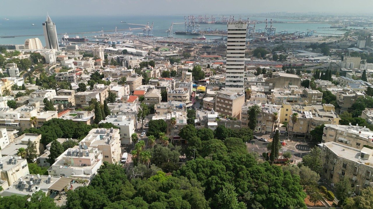
Carmel is one of Haifa’s greenest areas, combining forested zones, well-maintained parks, and walking trails. A drone guide allows you to see the scale of green spaces, evaluate the neighborhood layout, and enjoy panoramic views not visible from the ground.
Main Sites and Areas
Carmel Park
The main forested area with walking trails and viewpoints. From above, the density of greenery and terrain relief are clearly visible.
Ahuza Park
A prestigious park with well-maintained lawns and mature trees. Panoramic views highlight the harmonious combination of nature and urban infrastructure.
Ramat Romema
New park zones with convenient paths and relaxation spots. From above, it is visible how green islands are integrated into the residential area.
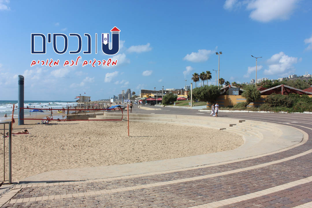
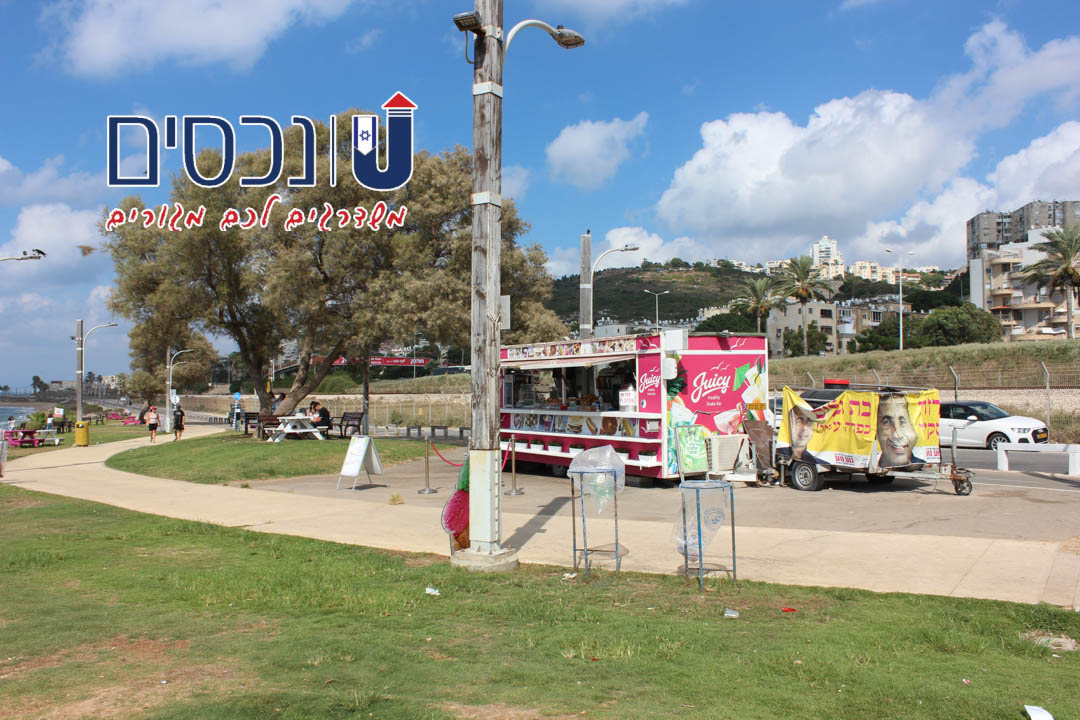
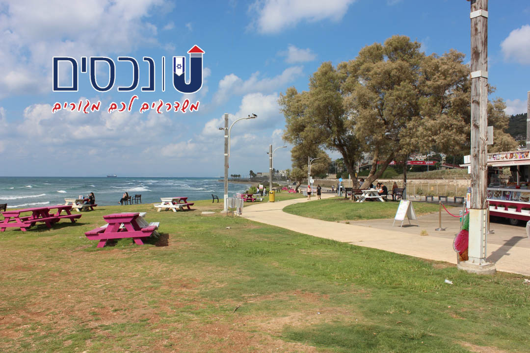
Bat-Galim
Green trails along the coast with open sea views. Drone footage emphasizes the combination of water and greenery.
Neve Shaanan
Family parks and playgrounds integrated into the urban landscape. From above, the connection of green zones with neighborhood streets is evident.
Walking and Running Trails
Panoramic routes through Carmel allow evaluation of length, terrain, and safety. Drone views help choose optimal routes for active recreation.
Forested Areas
Extensive forest zones of Carmel create a natural barrier from the city hustle. Drone footage shows their extent and distribution across the area.
Investor Evaluation
Rental Yield: high — proximity to parks and forest areas increases property appeal.
Demand: high — neighborhoods with green spaces attract consistent interest.
Liquidity: high — apartments near greenery sell faster.
Entry Threshold: medium — depends on infrastructure and distance from the city center.
Growth Potential: high — visual appeal of parks and forests enhances property value.
Strategies: purchase for family, purchase for rental, long-term investment.
Practical Investor Checklist
- Use drone overviews to assess the location of parks and trails.
- Check the length and condition of walking and running routes.
- Evaluate accessibility of forests and parks for residents.
- Compare Carmel neighborhoods by the amount of green space.
- Review municipal plans for the development of green areas.
Tips from Unehasim
- A drone guide provides a clear view of Carmel’s green zones.
- Use panoramic footage to analyze neighborhood potential and attractiveness for living and investment.
- Visual assessment of trails, parks, and forests helps make the right real estate choice.
Conclusion
From a drone perspective, Carmel offers impressive views of parks, trails, forests, and green areas. This helps in selecting neighborhoods for comfortable living and profitable investments.
If you want to choose an apartment near Carmel’s green zones — contact Unehasim, and our specialists will help you find the optimal property.